
Monte Bello Open Space Preserve (Spring):
Summer Breeding Birds
by Kirsten Holmquist
The “Beautiful Mountain” lives up to its name. Located west of Palo Alto, sweeping views and multiple microhabitats make this preserve a visual delight to walk through. Many of our most coveted summer breeding birds are attracted to the richness of this park. Lazuli Bunting is an excellent example of a species that drops in to breed at this location. Sometimes residents such as Pileated Woodpecker can also be seen.
Trip Covers: Late April – Early June
Key Birds: Pacific-slope Flycatcher, Warbling Vireo, Brown Creeper, Blue-gray Gnatcatcher, Purple Finch, Grasshopper Sparrow, Orange-crowned Warbler, Black-throated Gray Warbler, Black-headed Grosbeak, Lazuli Bunting
How to Bird
The preserve encompasses the upper Stevens Creek watershed from Monte Bello Ridge to Skyline Ridge. Access is from Page Mill Rd, close to Skyline Boulevard.
A tour of the microhabitats can be made with a loop of approximately 5.5 miles with 800’ elevation change. The riparian corridor is shaded. The rest of the area is exposed. Note: if that loop sounds too challenging, a truncated version, involving an out and back on the Canyon Trail, is only approximately 2.5 miles with 200’ elevation change.
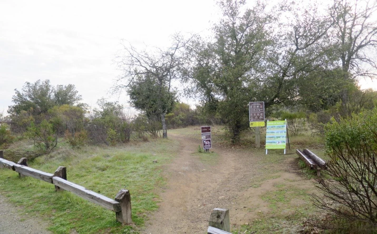
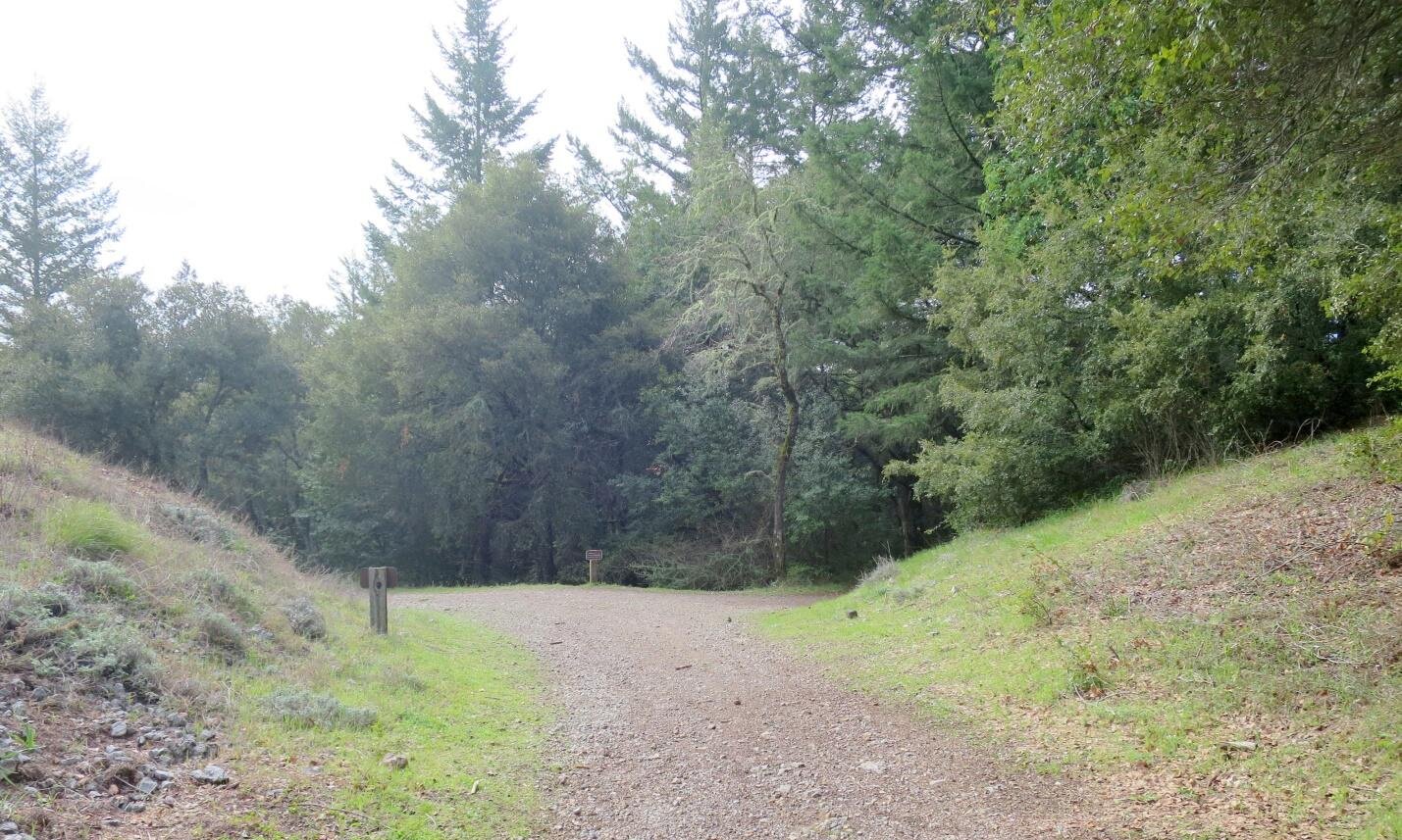
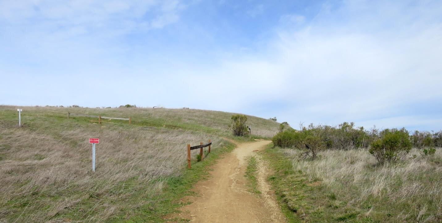
Starting from the trail that leads off down the mountain from the parking lot entrance to walk through a bit of California shrub (trailhead shown on interactive map).
Local residents such as Spotted Towhee may be up and singing. As the shrub habitat starts to yield to grassland, you will have your first opportunity to see Grasshopper Sparrow. This sparrow may be your typical “little brown bird”. However, it will put its whole heart and soul into its buzzy little “song”. The insect-like sound is what inspired its name. Look for the flat-looking forehead as it throws its head back to serenade.

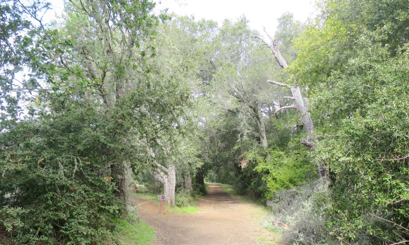
As you follow this trail, you will arrive at an old orchard area (old orchard marked on map) which drops down into the riparian corridor. You may hear your first Warbling Vireo singing from the trees. Don’t get too discouraged if locating the singer proves to be elusive. This species is expert at being heard but not seen. Seeing one is a treat as the white bracketing its eyes gives a Disney-like appeal.
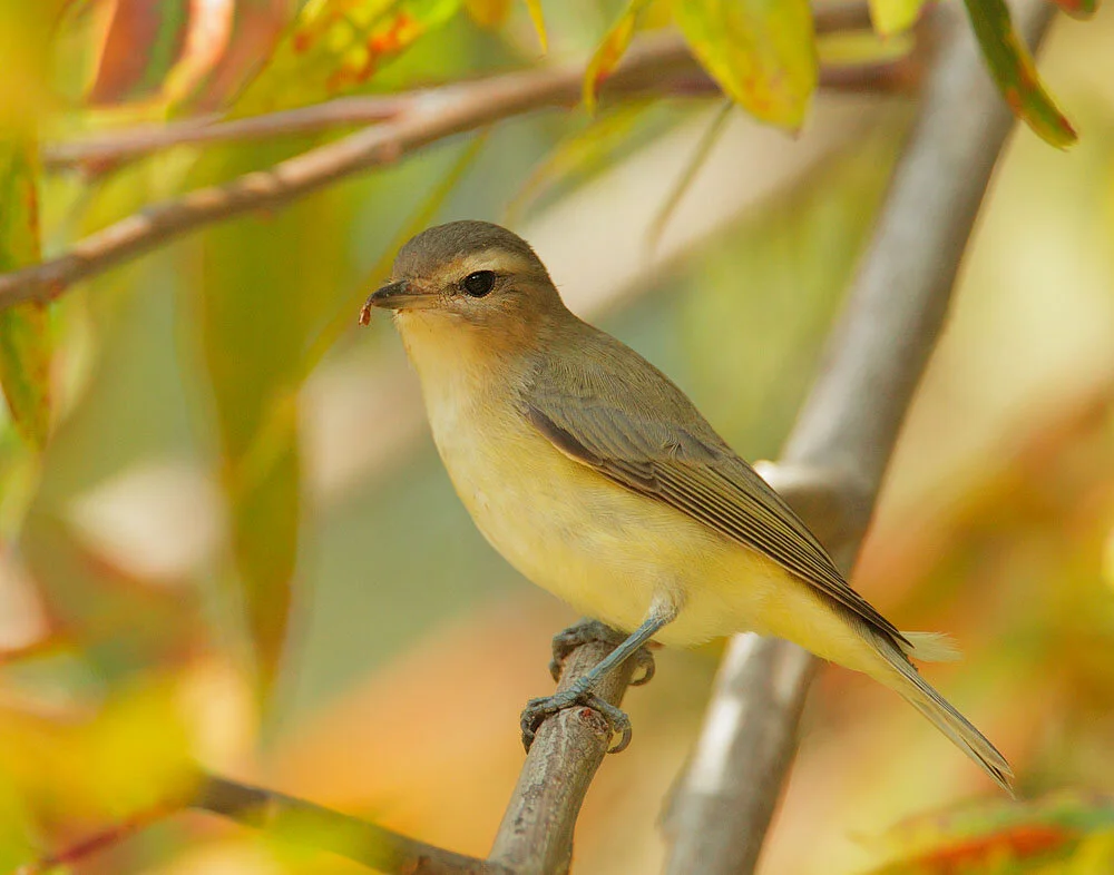
Warbling Vireo by Tom Grey

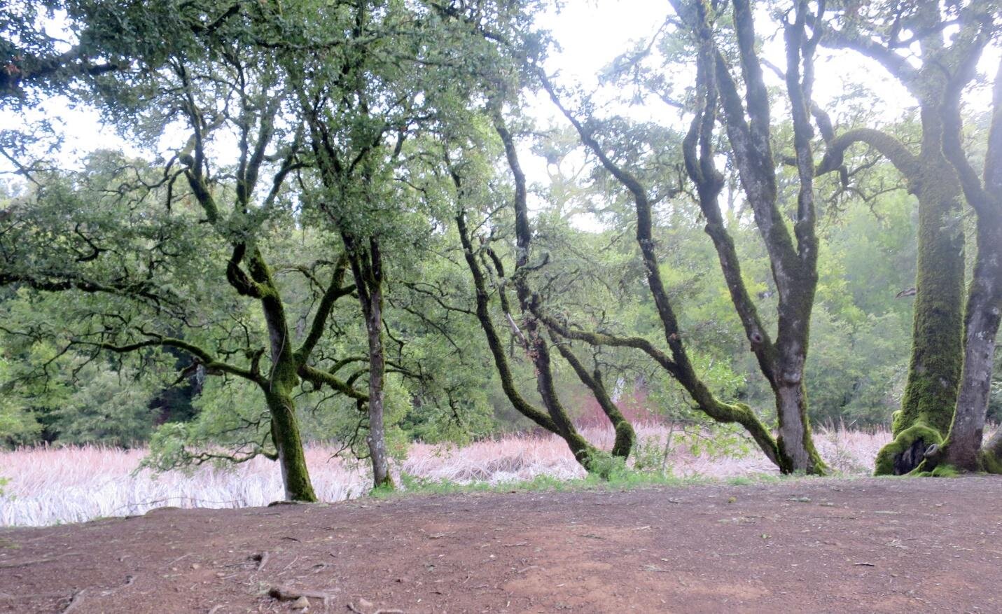
The Canyon Trail (#1 on map) follows the riparian corridor. If you take a right on the Canyon Trail a short distance until the end of the oaks (#2 on map), you may find a nesting pair of Blue-gray Gnatcatchers with their own buzzy call. This spunky little species has nested at this location now for several years.

Turn around and walk back along the Canyon Trail to the Sag Pond (see map). The Pond resembles a tract of reeds more than something you might consider a pond. It is your first opportunity for a number of target species, including the much desired Lazuli Bunting. The brilliant blue feathers on its head and back give this species its name. Other possibilities include Black-headed Grosbeak, Black-throated Gray Warbler, and Hutton’s Vireo.
Continue on to the junction with the Bella Vista trail and head left (#3 on map).

As you head up Bella Vista, you may catch snatches of a California Thrasher singing. More opportunities exist along the way for both Lazuli Bunting and Black-throated Gray Warbler. You may also have a chance for Western Kingbird. Bella Vista features grasslands interspersed with forested drainage areas. Species such as the bunting favor this kind of mixed habitat.

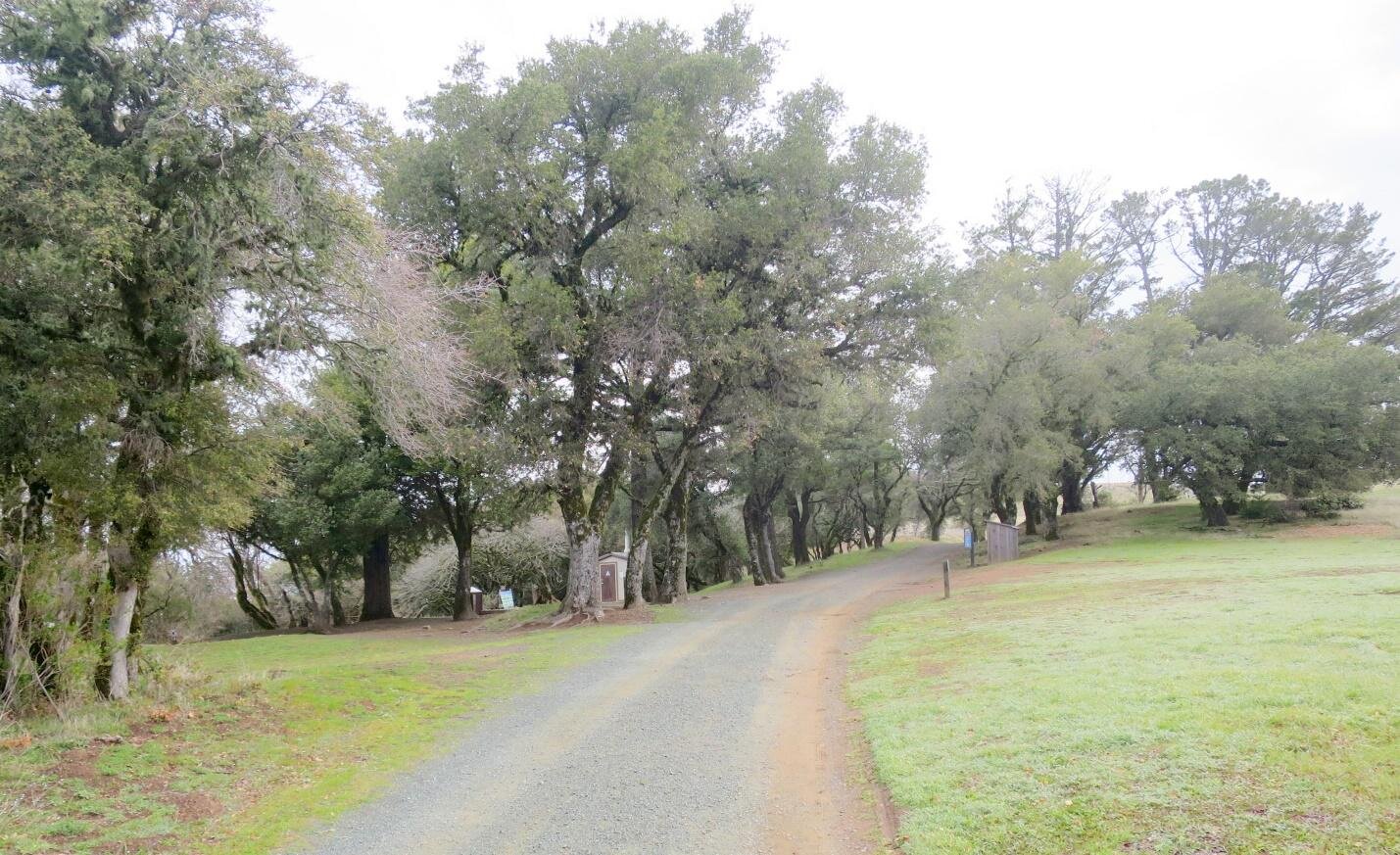
You will come to the turn to the Old Ranch trail (#4 on map). You can choose to take that trail or use the slightly shorter route of the road. Either will take you to the Black Mountain Backpack Camp. You may see Western Meadowlarks along the way.

The camp boasts some places to sit as well as a toilet. The trees and surrounding area may yield White-breasted Nuthatch and Western Bluebird. The latter will be sporting fresh feathers and will be a brilliant blue.
Past the camp, you will reach the turnoff on the right for the Indian Creek Trail (#5 on map).

This trail is largely surrounded by California shrub. You might hear the bouncing ball song of a Wrentit or the complex vocalizations of a California Thrasher. For me, the Wrentit song is the signature sound for this kind of habitat. Bewick’s Wren and Blue-gray Gnatcatcher are also possible. Both these species bring the attitude. The shyer, more retiring Wrentit may be harder to catch a glimpse of. The Wrentit is our only species from a group of birds called Babblers. To hear one “talk” (not sing) makes me think of a grumpy old man working its way along. Its relatives are largely in Asia. It is a major homebody, forming lifelong pair bonds, and a favorite of mine. It is amazing to me that a bird that doesn’t like to move more than a few hundred feet from where it was born somehow made its way along a land bridge from Asia to settle in California. It is very close to being endemic, with a range that extends just a bit north into Oregon and south into Baja.

Wrentit by Brooke Miller

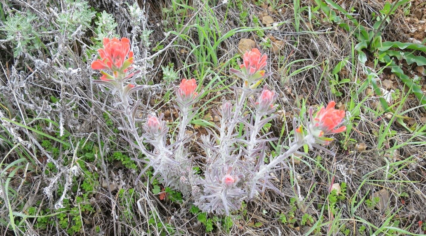
You may see shrub plants such as ceanothus and sage in bloom.

Wildflowers may also be in bloom.
After a mile, you will connect back up with the Canyon Trail. Take a right (#6 on map).
After 0.2 miles, you will reach a meadow and the junction of the Stevens Creek Nature Trail. This meadow and the surrounding area may yield Black-headed Grosbeak, Pacific-slope Flycatcher, and Western Tanager. Listen for the rollicking song of the grosbeak, the three-part call of the flycatcher, and pit-r-ick of the tanager.

Continuing on the Canyon Trail (ignoring the nature trail), you will head up through an area where Brown Creeper is often found. Heading back into more grassland, you may catch a glimpse of Ash-throated Flycatchers. You will also have a final opportunity for Lazuli Bunting. Heading back to the pond, Purple Finch and Orange-crowned Warbler may be active. To find the warbler, listen for its descending trill and look for a moving leaf. This warbler is the color of a spring-green leaf. Continuing past the pond, ignore the “social trails” off to the left. (If you are not familiar with the term, it is ranger-speak for environmental damage done by hikers who feel that trail rules don’t apply to them.) Instead take the marked trail to the left that heads back into the orchard (#7 on map).
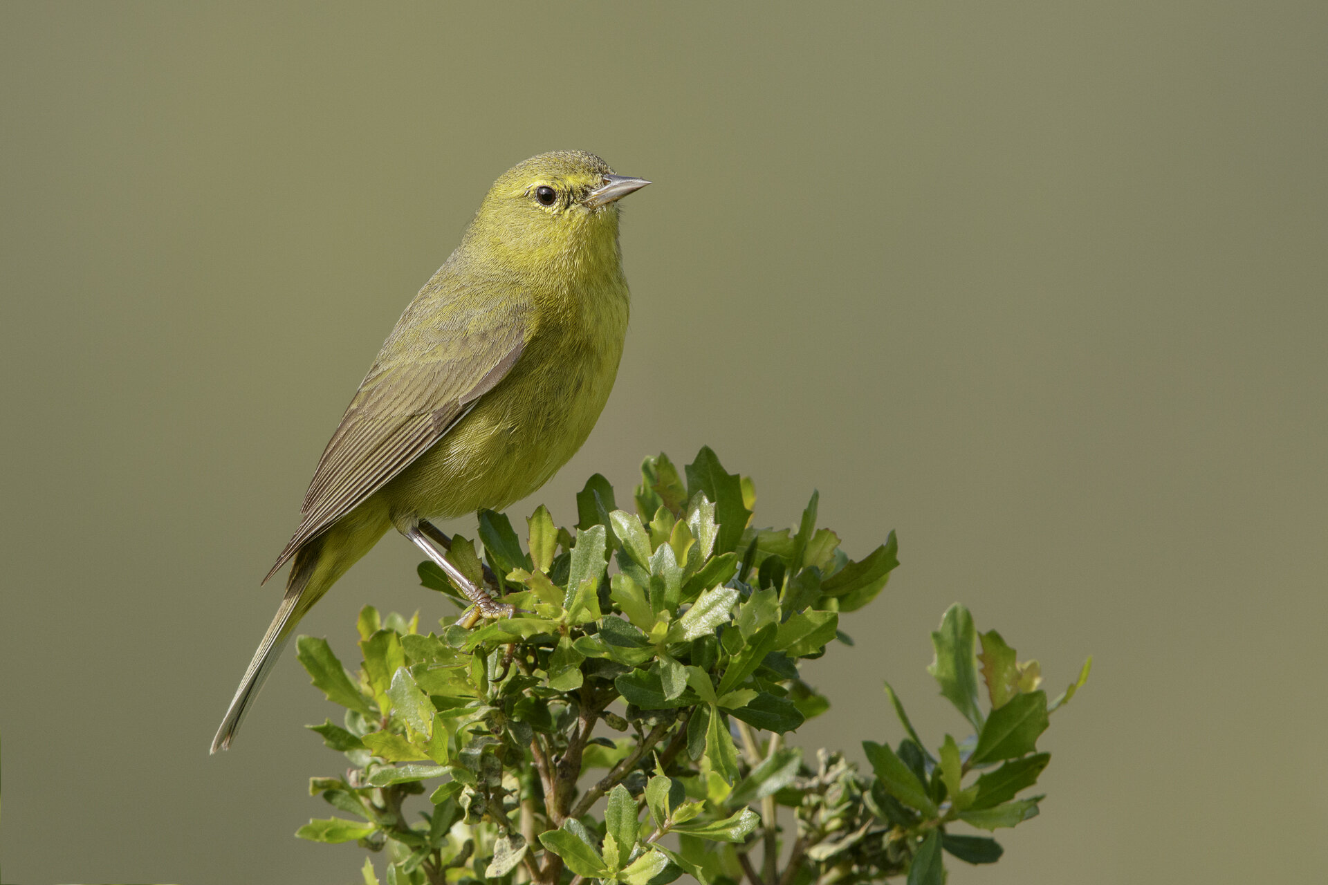
Orange-crowned Warbler to Luis Villablanca
In the orchard, perhaps something new will have flown in such as a Cooper’s Hawk. Return the way you came until you reach a trail going to the left that goes the other way around the ridge (#8 on map). The shrub to the left and the ridge are another opportunity for Grasshopper Sparrow. Hang a left at this juncture.
It will only be a short distance until you reach the parking lot from here. A number of wildflowers may be blooming, including my personal favorite Mariposa Lily.
Ready for More? If you continue up Page Mill to Skyline, two other open space preserves straddle Page Mill: Skyline Ridge and Russian Ridge. Both have their own charms. Skyline is more shaded while Russian Ridge is more grassland. Russian Ridge can have great wildflower displays and more opportunities for Grasshopper Sparrow. Skyline has multiple ponds with habitat for woodland species.
Interactive Map
Route Summaries
Full Loop option:
From the parking lot follow trail near lot opening for 0.3 miles to Canyon Trail
Turn right on Canyon Trail and walk until end of oaks
Turn around and walk on Canyon Trail at little over 0.2 miles to Bella Vista
Turn left onto Bella Vista, continue 0.8 miles
Turn right onto Old Ranch, continue for 0.7 miles. Alternatively, go right on the road for 0.5 miles.
Turn right onto Indian Creek, continue for 1.0 miles
Turn right onto Canyon Trail, continue for 1.0 miles
Turn left into orchard, continue for 0.2 miles
Turn left at trail juncture to walk back on grassy side of the ridge, parking lot in 0.1 miles
Canyon Trail only option:
From the parking lot follow trail near lot opening for 0.3 miles to Canyon Trail
Turn right on Canyon Trail and walk until end of oaks
Turn around and walk on Canyon Trail (passing by Bella Vista turnoff), continue 0.8 miles
At meadow containing the juncture with the Stevens Creek Nature Trail, turn around and walk back 0.8 miles.
Turn left into orchard, continue for 0.2 miles
Turn left at trail juncture to walk back on grassy side of the ridge, parking lot in 0.1 miles
Directions: From I-280 in Los Altos Hills, exit at Page Mill Rd and continue west for 7.1 miles. The preserve parking lot will be on your left. Latittude/Longitude: 37.325587, -122.178633
Parking: Dirt parking lot
Fees: None

Monte Bello OSP Parking Lot.
Public Transportation: None
Hours: Open half an hour before sunrise to half an hour after sunset
Facilities: Pit toilets exist at the parking lot and the backpack campground. Not available: drinking water, cell phone service, picnic tables.
Heads-up! The area has limited to no cell phone service. To print or download this guide before you go, select the text you want (don’t include the banner photo), then print to PDF, or use a free service such as printfriendly.com, which lets you shrink or remove photos.
Trip Mileage and Conditions: Trails are dirt. The full loop involves approximately 5.5 miles with 800’ elevation change. The Canyon Trail short version is only approximately 2.5 miles with 200’ elevation change. The riparian corridor is shaded. The rest of the area is exposed. Trail conditions in the riparian corridor can get muddy with rain.
Accessibility: This trip is not wheelchair accessible. The backpack campground has logs for sitting. A few benches exist on the Canyon Trail.
Bikes: Bikes are allowed but not recommended for this trip.
Dogs: Not allowed
More Information:
eBird Hot Spot: Monte Bello OSP Canyon Trail
eBird Hot Spot: Monte Bello OSP
More Resources
For more trips like this one, visit Self-Guided Field Trips.
Visit the SCVAS Birding Resources page for more information on where to bird, our birding community, bird identification resources and more.
Read “What to Look for Now” by SCVAS Executive Director Matthew Dodder.
Banner Photo Credit: Lazuli Bunting by Luis Villablanca
Last Updated: 5/20/2022
Enjoyed this Trip?
Support the work of Santa Clara Valley Audubon Society and become a member. To contact the trip writer with comments, questions or location updates, please email fieldtrips@scvas.org. You can also post in the comment section below. (If you’d like to post anonymously, type your comment, select “Post Comment”, then simply provide a name, like “Guest”, and select “Comment as Guest”.)